Hiking & Biking Trails
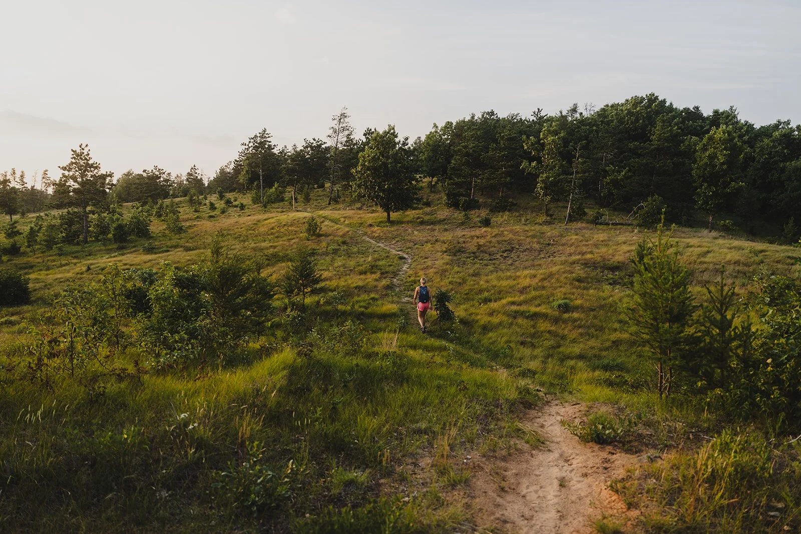
From quick walks to longer loops, Rome’s local trail system makes it easy to enjoy the outdoors close to town. These trails are a great fit for visitors looking for a casual outing, a morning ride, or an easy way to explore more of the area.
Town of Rome Hiking Trails
WRPCO Trails
Best for: Hiking
Trailhead: Apache Ave/16th Lane Intersection (North), Badger Ave/17th Drive Intersection (South)
Length: 1.63 miles (North), 2 miles (South)
Difficulty: Easy to Moderate
A pair of local hiking trails that give visitors a simple way to get out into nature. WRPCO South includes a rough terrain section, so hikers should use caution.
Choose Your Own Adventure
Best for: Hiking
Trailhead: Rome Town Center / Business Park
Length: Varies
Difficulty: Easy
This flexible loop area lets visitors choose their own distance and pace. It is a good option for a shorter walk, light exercise, or a casual outing near town.
Twin Lakes Trail
Best for: Hiking
Trailhead: Apache Ave near County Rd Z
Length: 0.55 miles one-way
Difficulty: Easy
A short and simple trail that is ideal for a quick walk outdoors.
Twin Lakes Park
Best for: Hiking
Trailhead: Twin Lakes Park
Length: 0.75 miles, one-way
Difficulty: Easy
A short park trail with onsite parking, great for a casual outing.
Karner Connection Trail (Sand Valley)
Best for: Hiking
Trailhead: Meditation Point of the Songbird Trail, or about ½ mile into the Ridge Trail
Length: 1.5 miles
Difficulty: Moderate
This connecting trail links Ridge Trail and Songbird Trail and features rolling topography, red pine stands, Karner Blue Butterfly habitat, and views of Lake Leopold.
Ridge Trail (Sand Valley)
Best for: Hiking
Trailhead: South end of the Clubhouse
Length: 2.5 miles
Difficulty: Advanced
One of the area’s most dramatic trail experiences, Ridge Trail features expansive sand blowouts, red pine plantations, oak savannah, and elevated views.
Songbird Trail (Sand Valley)
Best for: Hiking
Trailhead: Behind Craig’s Porch at the north end of Sand Valley’s driving range
Length: 1.2 miles
Difficulty: Moderate
A loop trail that passes through restoration areas, golf landscapes, and red pine plantation, with bird boxes monitored by volunteers during the summer.
Link the Lakes Trail
Best For: Multi-Use
Trailhead: Aniwa & Hwy 13, West Queens Way & Hwy 13
Length: 1 mile
Difficulty: Easy
This multi-use paved trail provides a smooth, stable surface for walking, biking and running. It includes a tunnel under State Hwy 13 and a pedestrian bridge over the 14 Mile Creek. The path is plowed in the winter, enabling year-round use.
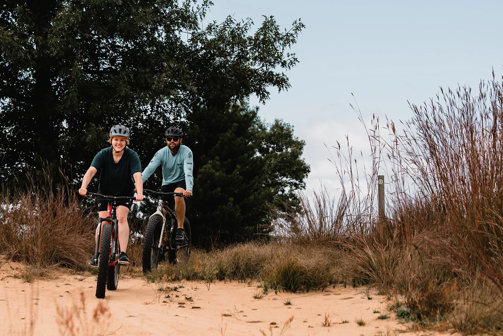
Town of Rome Biking Routes
Trapshooters Loop
Best for: Biking
Trailhead: WTA Homegrounds or Rome Town Center
Length: 6.8 miles
Difficulty: Moderate
A longer local bike loop for visitors who want to cover more ground and explore more of Rome.
Parks Route
Best for: Biking
Trailhead: Rome Town Center
Length: 3.7 miles
Difficulty: Easy
A shorter biking route that works well for a relaxed ride.
Library Loop
Best for: Biking
Trailhead: Lester Public Library of Rome
Length: 8.2 miles
Difficulty: Moderate
A longer route for visitors looking for an extended ride through the area.
Dunes Loop
Best for: Biking
Trailhead: Lake Arrowhead Clubhouse
Length: 8.6 miles
Difficulty: Moderate
A scenic biking loop that reflects the area’s distinctive landscape.
Shermalot Loop
Best for: Biking
Trailhead: Camelot on the Lake or Camelot Boat Landing
Length: 4.3 miles
Difficulty: Easy to Moderate
A local loop that is a good fit for a casual ride.
Blazing Star Trail
Best for: Biking
Trailhead: Across the street from the Clubhouse, in front of the bike racks
Length: 3 miles
Difficulty: Moderate to High
A scenic trail through Sand Valley’s unforgettable sand barrens and countryside, offering a memorable ride or hike in every season.
Link the Lakes Trail
Best For: Multi-Use
Trailhead: Aniwa & Hwy 13, West Queens Way & Hwy 13
Length: 1 mile
Difficulty: Easy
This multi-use paved trail provides a smooth, stable surface for walking, biking and running. It includes a tunnel under State Hwy 13 and a pedestrian bridge over the 14 Mile Creek. The path is plowed in the winter, enabling year-round use.
More Trails & Parks to Explore Nearby
Looking to explore beyond Rome’s local hiking and biking routes? You’ll find even more places to explore nearby, from the scenic sand-country trails at Sand Valley to additional parks and trail systems in Adams and Wood County.
Adams County
Roche-A-Cri State Park
Best for: Hiking
Trailhead: Highway 13 in summer, Czech Avenue in winter
Length: More than 5 miles of trails
Difficulty: Easy to Moderate
Located north of Adams Friendship, this state park offers hiking trails, campsites, picnic areas, fishing access, and year-round outdoor recreation.
Van Kuren Trail
Best for: Hiking, cross-country skiing
Trailhead: Town of Strongs Prairie, off Chicago Avenue
Length: 3.2 miles
Difficulty: Easy to Moderate
This trail near the Petenwell Flowage passes through a variety of habitats, offering wildlife viewing opportunities, an observation tower, and a warming shelter in winter.
Adams County Rock Formations
Best for: Hiking, sightseeing
Trailhead: Varies by location
Length: Varies
Difficulty: Varies
Adams County is home to 23 well-known rock formations, making it a fun option for visitors who enjoy scenic landmarks and natural exploration.
Wood County
Ahdawagam Trails
Best for: Hiking, biking
Trailhead: Multiple access points in Wisconsin Rapids
Length: More than 20 miles total, with individual trails ranging from 3 to 7 miles
Difficulty: Easy to Moderate
This Wisconsin Rapids trail system travels through wooded areas, along the riverfront, and through the city, giving visitors a variety of route options.
Lynn Creek Nature Trail
Best for: Hiking
Trailhead: Nekoosa area access point
Length: 1.5 miles
Difficulty: Easy
A peaceful nature trail with benches, a walkway, and scenic river views.
Sandhill Wildlife Area Trumpeter Auto Trail
Best for: Sightseeing, biking, birding, hiking
Trailhead: Sandhill Wildlife Area access points
Length: 14 miles
Difficulty: Easy
A quiet route through a wildlife oasis that gives visitors a chance to experience habitat, wildlife viewing, and other outdoor activities from sunrise to sunset, April through the end of October.
South Wood County Park/Lake Wazeecha Trail
Best for: Walking, biking
Trailhead: South Wood County Park / Lake Wazeecha
Length: 4.1 miles
Difficulty: Easy
Located in Wisconsin Rapids, this paved trail circles Lake Wazeecha and offers an easy outdoor option close to beaches and park amenities.
Wisconsin River Trail
Best for: Biking, walking
Trailhead: Downtown Wisconsin Rapids
Length: 9.5 miles
Difficulty: Easy
This paved trail offers great river views and wildlife watching as it travels from downtown Wisconsin Rapids through Port Edwards and into Nekoosa. Part of this trail also overlaps with the Red Trail of the Ahdawagam Trail System.

Hiking & Biking Community
D.R.A.F.T. BIKE
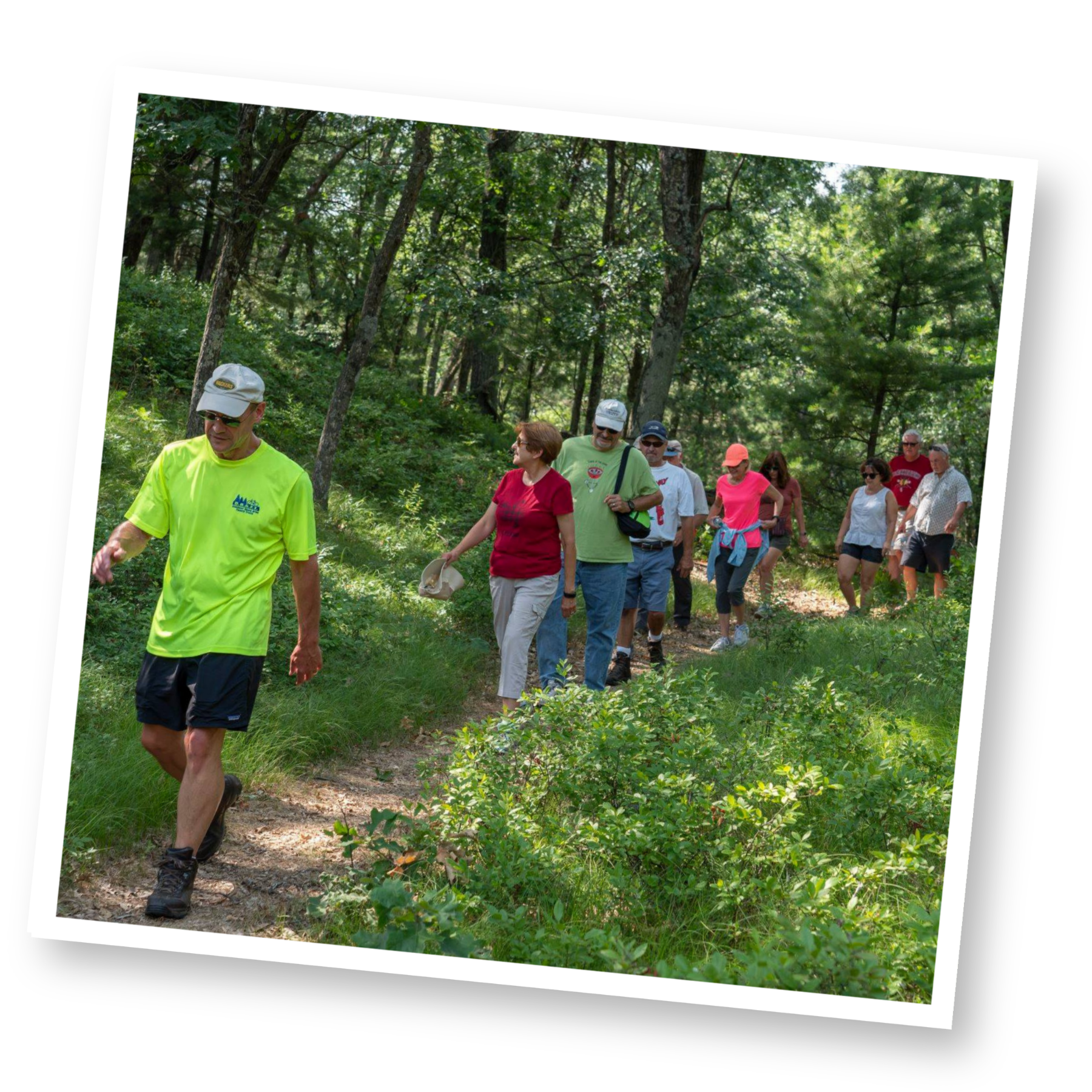
D.R.A.F.T. (Discover Rome Area Family Trails) helped complete the first 2.79 miles of the Town of Rome’s bike and pedestrian trail and continues to support the growth of local hiking and biking opportunities. It is a helpful resource for visitors interested in Rome’s trail development and outdoor community.
Need a Rental Bike?
Tri-Lakes Power Sports
Tri-Lakes offers E-bike rentals for daily, weekend or week-long use and can be delivered to your door. They also rent golf carts and 2-3 passenger UTVs.
Northward Peddle & Paddle
Northward offers recreational rentals for outdoor enthusiasts, including kayaks, canoes, stand-up paddle boards, and fat, trail, and road bikes. Rentals are available for daily, weekend, or week-long use and can be delivered right to your door.
Keep Exploring Rome
Find more activities, attractions, and local favorites to round out your visit.
Parks

Birding